 Skip to content
BOWMAN, NORTH DAKOTA
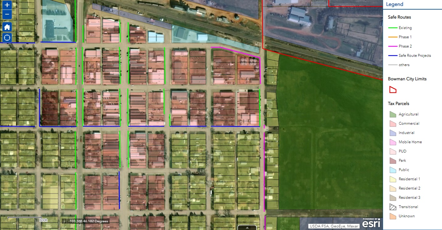
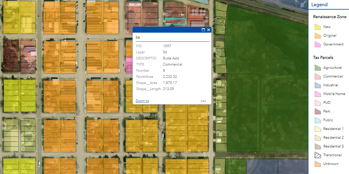
The City of Bowman needed an updated zoning map to replace its outdated paper format. An online mapping application showing zoning allowed the City to access data in a more modern, efficient manner.
The process began with a need to update zoning in the City of Bowman. Outdated zoning maps were assessed and surveyed drawings of the city and transferred into GIS. The drawings provided accurate lot sizes and blocks that aided in assigning zones to each parcel.
After initial completion, data can be continually added to the zoning application, providing more information by parcel such as parcel number, address, lot size, and ownership. Some of the challenges with updating this information are the ever-changing nature of zoning and maintaining updates rapidly enough to facilitate accurate zoning decisions. New projects, such as the sidewalk improvement project in Bowman, have been added to the zoning mapping application, providing valuable information that could impact City zoning decisions in the future.
